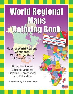
- Learn and color blank and outline maps of the world and its regions.
- Each blank, outline, printable continent map is presented with a detailed version with political borders, country, capitals, major city names and country name, and then an outline map with just country names and a blank outline map without any of the information, great to color however you want.
- Students can trace the outlines of the map, study and highlight continents and features on the blank map.
- A great resource for students and teachers.
Black outline blank world maps included in the coloring book are:
- World Maps - Robinson Projection
- World Maps - Mercator Projection
- United States Outline Maps, with and without names
- Canada Maps, with and without names
World Regional and Continent Maps:
- Africa Map
- Asia Map
- Australia, Oceania Map
- Australia Map
- Europe Map
- Maps of North America including Canada, USA and Mexico
- South America
- Antarctica Map
Additional world regions maps included are:
- Russia Map
- Central America and the Caribbean Map
- Central America Map
- Europe to the Ural Mountains Map
- Eastern Europe Map
- Eastern Europe - Balken Regional Map
- Middle East Map
- Mediterranean Regional Map
- Latin America Map
- Scandinavia Map
- Southeast Asia Map
Maps come with and in a blank version without names. The printable, blank, outline regional maps in this coloring book can be freely photocopied by a teacher or parent for use in a classroom or for homeschool lessons. World Regional Maps Coloring Book, updated for 2019.
