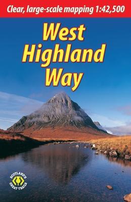
The West Highland Way is the first and most famous of Scotland's Great Trails, running for 96 miles (154 km) through superb scenery. Starting from the outskirts of Glasgow, it passes through Scotland's first National Park, along the banks of Loch Lomond, across the wilds of Rannoch Moor and ends in Fort William at the foot of Ben Nevis, Britain's highest mountain. This new edition describes the route from Milngavie northward, including the improved lochside path north of Rowardennan and the final "extra mile" into Fort William. It has more pages, many more photos and much larger scale mapping than before, yet it's lighter and than ever.
This guidebook contains all you need to plan and enjoy the West Highland Way:
- the Way in sections, with summaries of distance, terrain and altitude profiles
- where to find food and drink, accommodation and how to split the distance
- concise background on the history, heritage and wildlife
- information about side-trips, e.g. Ben Lomond and Ben Nevis
- background information about Loch Lomond, history, habitats and wildlife
- planning information for travel by car, train, bus or plane
- 15 pages with detailed route mapping at 1:42,500
- in full colour, with 120 photographs
- rucksack-friendly format.
