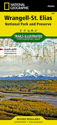
- Waterproof - Tear-Resistant - Topographic Map
Explore the majesty and wonder of Alaska's southern coast with National Geographic's Trails Illustrated map of Prince William Sound - East. Created in partnership with local land management agencies, this expertly researched map features key areas of interest including Copper River Delta; Chugach National Forest; Nellie Juan-College Fiord Wilderness Study Area; Childs Glacier; Miles Lake; Port Valdez; and Canoe Passage, Boswell Bay, Shoup Bay, Jack Bay, and Sawmill Bay state marine parks. The print map also includes insets of the town of Cordova and the city of Valdez.
This map features clearly defined, color-coded boundaries for parks, wilderness areas, and native corporation lands; accurate road network; and helpful material about Prince William Sound, Copper River Delta, coastal hazards, regulations, and agency contact information. Hiking and ski trails are clearly marked, as are trailheads, public use cabins, and campsites. Many transportation features are noted as well, including airports, landing strips, boat ramps, and boat and seaplane anchorages.
Every Trails Illustrated map is printed on "Backcountry Tough" waterproof, tear-resistant paper. A full UTM grid is printed on the map to aid with GPS navigation.
Other features found on this map include: Bligh Island, Chugach National Forest, Copper River, Egg Islands, Hawkins Island, Martin River, Miles Lake, Naked Island, Orca Bay, Port Fidalgo, Port Gravina, Port Valdez, Sheridan Glacier, Shoup Glacier, Valdez Arm
- Map Scale = 1:110,000
- Sheet Size = 38" x 25.5"
- Folded Size = 4.25" x 9.25"
