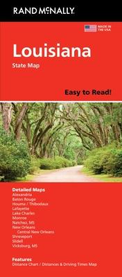
Explore the vibrant state of Louisiana with Rand McNally's Easy to Read Louisiana Folded Map. Perfect for both casual travelers and adventurous explorers, this map provides a comprehensive and detailed view of Louisiana's highways, main roads, and street networks. Designed with the user's convenience in mind, the map's large-scale layout offers enhanced readability and highlights major attractions, making navigation through the state's diverse regions seamless and straightforward.
The folded map's durable material ensures it withstands frequent usage, whether you are navigating the bustling city streets or the serene country roads. This handy, portable map is an excellent tool for road trips, travel planning, or as an educational aid to study Louisiana's unique geographical features.
Authored by Rand McNally, a trusted name in mapping, this publication ensures accuracy and up-to-date information. Whether you're interested in its historic sites, cultural landmarks, or natural beauty, Rand McNally's map will be an invaluable companion on your Louisiana adventure.
