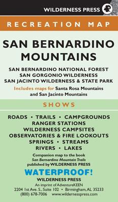
Find your way in Southern California's beautiful mountain region with this large, foldout topographic map.
One of the most unique regions in the country, the San Bernardino Mountains are where you'll find desert cactus, pine trees, snow-capped peaks, and palm oases--all in close proximity. With Southern California's highest and most rugged mountains, along with the Pacific Crest Trail weaving its way through the area, there are endless opportunities to explore the mountain ranges, as well as the San Bernardino National Forest, San Gorgonio Wilderness, and San Jacinto Wilderness & State Park.
Discover the best hikes with this four-color topographic map. The detailed map is 29.5" x 21", and it contains all the information you need to explore. On one side, the map features a view of the San Bernardino Mountains. The other side presents the San Jacinto Mountains and the Santa Rosa Mountains. This beautiful map shows every major road (along with minor and unpaved roads), and it includes trails, trailheads, campgrounds, mines, forest service stations, waterways, peaks, and more. The map is a wonderful supplement to the guidebook San Bernardino Mountain Trails (not included).
When you're finished, fold the map back to the convenient size of 4.25" x 7.25". It is lightweight and durable, and it fits in your backpack or back pocket. So you can carry it with you on your adventures! Use the map alone, or pair it with the book for even more great information.
