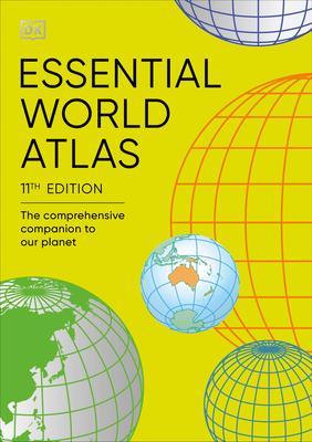
This is a new edition that includes updated maps and statistics, as well as short profiles of each of the world's 196 nations.
In this atlas, you will find:
- A series of 12 global thematic maps on subjects diverse as ocean currents and languages.
- 60 full-colour regional maps featuring political and state borders.
- A fully cross-referenced index-Gazetteer featuring 20,000 places.
- Data profiles of each country, including flags and key statistical indicators.
You can also read additional information about the main population and administrative centres, main lines of communication, ports, and airports.
This is the perfect reference tool to help digest all the information in today's world through the essential facts about our ever-changing planet.
