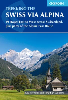
Guidebook to the Swiss Via Alpina, a 400km (250 mile) trek east-to-west across Switzerland, from Sargans to Montreux on Lac Lman (Lake Geneva). This fully waymarked Swiss national trail involves nearly 23,000m of ascent and descent over roughly 3 weeks of trekking - a serious challenge suitable for experienced trekkers.
- 19 daily stages of 12-29km (8-18 miles) in length, as well as a 27km (17 mile) prologue stage from Liechtenstein
- Highlights include Altdorf, Engelberg, Meiringen, Grindlewald, Kandersteg, Adelboden, Lenk, Gstaad, Rochers de Naye, Montreux
- Comprehensive route description accompanied by 1:100,000 mapping, route profiles, facilities listings and advice on safety, language and using public transport to bypass sections of the route if trekking on a tighter timescale
- Crossing 16 Alpine passes, the VA follows much of the route of the old Alpine Pass Route, including detour stages via Lenk and Gsteig
- Includes full details of where to stay, from mountain huts to hotels, inns and camping available at licensed sites along the route
- Mountain vistas taking in alpine meadows, traditional farms and snow-capped peaks, from the Todi and Titlis to the Wetterhorn, Eiger, Jungfrau, Wildstrubel and Les Diablerets
- GPX files available to download
