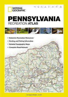
- Each labeled feature is up-to-date and verified by satellite image
- Comprehensive, easy-to-read road network
- Boundaries for parks and federal lands
- Clearly-labeled lakes, rivers and streams
- Durable laminated cover
- Size 11"x15"
- Robust travel and recreation information
- Cross-referenced chart of fishing areas with species information
- Game management units
- Campgrounds and attraction charts
- State Parks maps and facilities
- Hiking, golfing, skiing and paddling destinations
- Climate information
- Map Scale = 1:150,000
- Folded Size = 10.75 x 15.5
