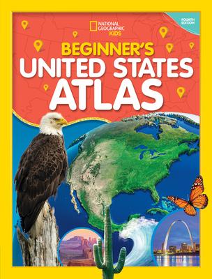
- Empowering instructions for how to read and understand maps
- Colorful physical and political United States maps
- 50 state maps designed to make it easy to find towns, cities, and physical features such as mountains, rivers, and lakes
- Lively essays highlighting each state's unique character and strengths
- Regional maps that provide a broad context for each state's location
- A feature on United States territories
- More than 200 colorful photographs
- United States facts at a glance, such as the largest cities, the highest mountain, and the largest states by area
- And more!

Book
National Geographic Kids Beginner's U.S. Atlas 4th Edition
(Write a Review)
$19.99
- Empowering instructions for how to read and understand maps
- Colorful physical and political United States maps
- 50 state maps designed to make it easy to find towns, cities, and physical features such as mountains, rivers, and lakes
- Lively essays highlighting each state's unique character and strengths
- Regional maps that provide a broad context for each state's location
- A feature on United States territories
- More than 200 colorful photographs
- United States facts at a glance, such as the largest cities, the highest mountain, and the largest states by area
- And more!
Hardcover
$19.99