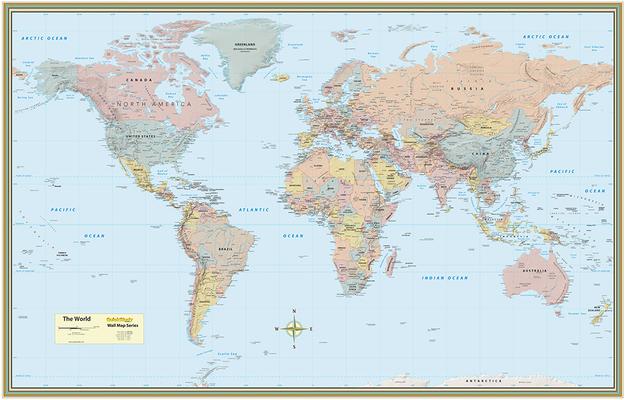
50 by 32 inch laminated map includes:
- Gall Projection Map
- Detailed topography with underlying satellite image of Earth's surface
- Labeled cities, and areas of interest
- National capitals
- Cities by population size
- Elevation
- Major rivers & lakes
- Major mountain ranges
- Cities represented with population size range
- Larger city name for larger populations
- Icons as locator pin vary based on population size
- Over 5 million
- 1,000,000 - 5,000,000
- 250,000 - 1,000,000
- 100,000 - 250,000
- Under 100,000
- Attractive and stylish design
- Quality 80 lb Ultra C1S Paper
- High-quality, matte non-glare lamination
- Measures 50 x 32 inches
