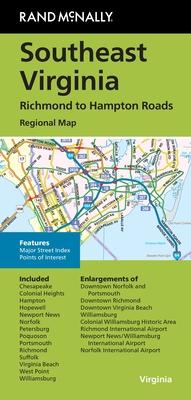
Embark on a journey of discovery with the Southeast Virginia Folded Map. This meticulously detailed map is perfect for explorers, travelers, and anyone needing accurate geographical guidance through Southeast Virginia. Designed to offer exceptional readability and practicality, this map features a user-friendly layout that makes navigation seamless.
The map includes comprehensive information on the road networks, highways, and byways, offering a convenient resource whether you're planning a road trip or exploring hidden gems of the Virginian landscape. Topographical features are clearly marked, while points of interest, such as landmarks, parks, and recreational areas, are easily accessible, making it an excellent tool for planning adventures.
The Southeast Virginia Folded Map is printed on high-quality paper, ensuring durability and resistance to frequent use. Its compact, folded design allows for easy carrying—slip it into your backpack or glove compartment and you're ready to go. This map is an invaluable asset for tourists and locals alike, providing a reliable and detailed depiction of the area's geographical nuances.
