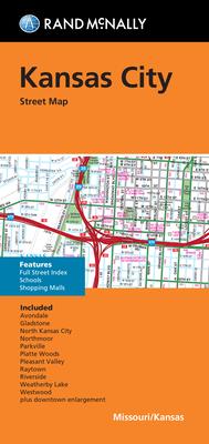
Discover the beauty and challenges of navigating Kansas City with the Rand McNally Kansas City Folded Map, an essential tool for both visitors and locals who crave an exploration of this iconic American city. Renowned for their authoritative mapping solutions, Rand McNally’s expertly crafted map offers an in-depth and accurate representation of Kansas City’s streets, landmarks, and points of interest.
This folded map is designed for easy handling and longevity, making it a perfect companion for your travels. Featuring updated and detailed cartography, users will benefit from clear and detailed road maps, enhanced with mileage calculations and indexed points of interest such as parks, airports, and popular destinations.
Ideal for tourists and residents alike, this map aids in efficiently planning out routes, finding essential services, and exploring the rich cultural and historical heritage Kansas City has to offer. With its superior readability and convenient folding design, this map ensures you are always confident in your navigation skills.
