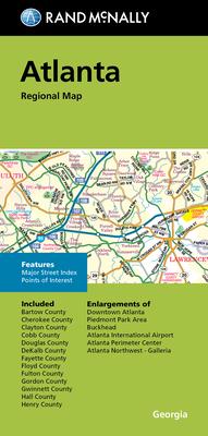
Discover the vibrant and culturally rich Atlanta region with the Rand McNally Folded Map: Atlanta Regional Map. This map is a must-have for both locals and visitors alike who seek to navigate the dynamic landscapes and thriving suburban areas of Atlanta, Georgia. Renowned for their accuracy and attention to detail, Rand McNally maps are crafted to provide unparalleled direction and guidance.
The Atlanta Regional Map offers a detailed and easy-to-read layout that encompasses the major highways, streets, and points of interest within the Atlanta metropolitan area. Whether you're planning a day trip or exploring the history-rich routes of Georgia, this map serves as an indispensable tool for travel planning and navigation.
Characteristic of Rand McNally's dedication to quality, this folded map is designed for durability and portability, making it simple to carry and use on the go. With its comprehensive coverage of Atlanta and the surrounding areas, including counties, cities, and local landmarks, this map is the ideal companion for all your adventures.
