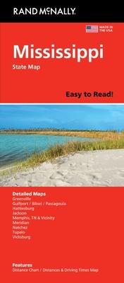
Navigate the Magnolia State with ease using the Rand McNally Easy to Read Mississippi Folded Map. This map is designed for convenience and clarity, making it an ideal companion for travelers, commuters, and residents who require a reliable and accessible way to explore the picturesque landscapes and bustling cityscapes of Mississippi.
The map unfolds to a detailed scale, clearly indicating the vast roadways, highways, and points of interest that connect the state's vibrant locales. Whether you're planning a scenic drive through the historic Natchez Trace Parkway or navigating the cultural hubs of Jackson, the capital city, this map ensures you're well-prepared.
Highlighted are major roadways, streets, and highways, as well as functional data on landmarks, parks, and geographical features that define Mississippi's rich heritage and natural beauty. Tropical features and coastline details further enhance your travel planning, ensuring you won't miss the state's exquisite Gulf Coast. Rand McNally's classic cartography style provides a layer of familiarity and trust, helping you find your way with ease.
This folded map's practical format allows for easy folding and unfolding, making it a convenient glove box or backpack companion for on-the-go navigation. With its user-friendly design and durable construction, it's built to withstand the rigors of travel while providing comprehensive information at a glance.
