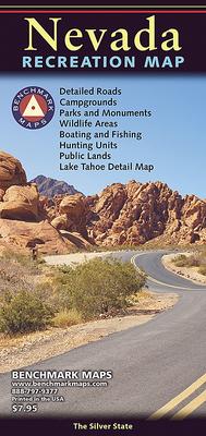
This recreation map of the Silver State is the ideal companion to the Nevada Road & Recreation Atlas. It illustrates statewide road detail & recreation information including public lands, parks & monuments, boating & fishing access, hunting unit boundaries, campgrounds, historic sites, point-to-point distances, and more. The reverse side features categorized listings of recreation POI and an inset map of the Lake Tahoe area.
- Map Scale = 1:950,400
- Sheet Size = 23" x 36"
- Folded Size = 4" x 9"
