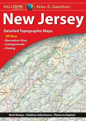
The DeLorme Atlas & Gazetteer represents the pinnacle of comprehensive map resources designed specifically for outdoor enthusiasts and map connoisseurs. Known for its precise detail and user-friendly layout, this atlas covers multiple geographic areas, delivering reliable information essential for trip planning, exploration, and fieldwork.
Each page is filled with detailed topographic maps, offering a wealth of information including elevation contours, bodies of water, highways, roads, and scenic spots. This atlas serves as an indispensable tool whether you’re planning a camping trip, fishing expedition, hiking adventure, or off-road exploration. Its binding and size are engineered for durability and easy usage, making it suitable for rugged outdoor conditions.
This edition of the DeLorme Atlas & Gazetteer includes updated roads as well as the latest geographic and recreational information. The highly detailed and overlayed topography provides trusted guidance facilitating seamless navigation even in the most remote areas. Features like labeled landmarks, forest boundaries, and points of interest enable users to discover hidden gems along their journey.
