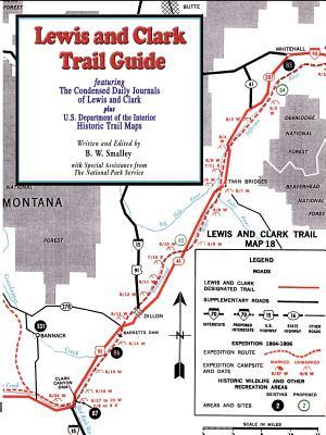
In June of 2002, in his father's garage, Bruce W. Smalley discovered the map portion of the U.S. Department of the Interior's The Lewis and Clark Trail, A Proposal for Development, United States Department of the Interior, 1965. These maps had been sent to Congress documenting the Lewis and Clark Trail in preparation for designating it a "Historic Trail." They included documentation of over 400 Lewis and Clark campsite locations as well as existing and proposed landmarks along the trail from St. Louis to the Pacific and back again. The National Park Service has the only other set of these maps known to exist.
Smalley condensed The Original Journals of Lewis and Clark by Reuben Gold Thwaites (1904-05) and produced a moving daily story that the layman will appreciate. Read the events of each day's travels and see them unfold on these historic maps. Follow the daily progress and visually experience the toil as the Corp slowly makes its way into history. The accuracy of the events and the flavor of the original writing style of the Journals are preserved and will take you on the expedition with Captains Lewis and Clark.
Lewis and Clark Trail Guide featuring condesed daily journal entries along with Historic Trail Maps from the U.S. Department of the Interior. 25 trail maps with campsite locations.
