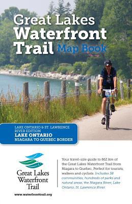
The Lake Ontario and St. Lawrence River Edition of the Great Lakes Waterfront Trail Map Book has been created to help you plan your own exploration of the Waterfront Trail along the Ontario shores of Lake Ontario and the St. Lawrence River, in a convenient travel size format. Whether you choose to spend an hour or a whole day on the Trail, your experience will inspire a deeper appreciation for the many natural and cultural riches you'll find along the way. More important it will deepen your commitment to the potential of the waterfront's regeneration. Inside the Great Lakes Waterfront Trail Map Book, you'll find over detailed 84 maps showing the Trail's route, on or off road sections, parking, washrooms, landmarks, trail connections, waterfront parks, wetlands, beaches, marsh and forests, vineyards, farmland, museums and shopping areas. We've also included several itineraries to get you started, whether you are walking, biking, or blading!

Great Lakes Waterfront Trail Map Book: Lake Ontario and St. Lawrence River Edition
The Lake Ontario and St. Lawrence River Edition of the Great Lakes Waterfront Trail Map Book has been created to help you plan your own exploration of the Waterfront Trail along the Ontario shores of Lake Ontario and the St. Lawrence River, in a convenient travel size format. Whether you choose to spend an hour or a whole day on the Trail, your experience will inspire a deeper appreciation for the many natural and cultural riches you'll find along the way. More important it will deepen your commitment to the potential of the waterfront's regeneration. Inside the Great Lakes Waterfront Trail Map Book, you'll find over detailed 84 maps showing the Trail's route, on or off road sections, parking, washrooms, landmarks, trail connections, waterfront parks, wetlands, beaches, marsh and forests, vineyards, farmland, museums and shopping areas. We've also included several itineraries to get you started, whether you are walking, biking, or blading!