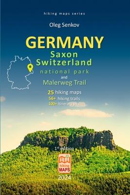
- 25 hiking maps, 56+ hiking trails
- Trails have distance (km and miles), hiking time, altitude elevation, gain and loss in altitude, visual altitude profiles
- Maps show itinerary landmarks, camping sites, rock shelters (Boofen), caves, viewpoints, sightseeing, climbing rocks, restaurants, museums, historical sites, bus and train stops, ferry transport, 50 web links
- 100+ itinerary most beautiful colorful pictures
- Malerweg trail with 8 stages (Etappe) of 120 km trekking
- Full list of 58 Boofen (rock shelters) for climbers
- Photo Album of landscape panoramic pictures
- Compact 6x9 in (15.2x22.8 cm), lightweight, fully colorful inside, robustly made book with a glance cover

Book
GERMANY, Saxony Switzerland National Park and Malerweg Trail, hiking maps
by Oleg Senkov
(Write a Review)
Paperback
$17.77
- 25 hiking maps, 56+ hiking trails
- Trails have distance (km and miles), hiking time, altitude elevation, gain and loss in altitude, visual altitude profiles
- Maps show itinerary landmarks, camping sites, rock shelters (Boofen), caves, viewpoints, sightseeing, climbing rocks, restaurants, museums, historical sites, bus and train stops, ferry transport, 50 web links
- 100+ itinerary most beautiful colorful pictures
- Malerweg trail with 8 stages (Etappe) of 120 km trekking
- Full list of 58 Boofen (rock shelters) for climbers
- Photo Album of landscape panoramic pictures
- Compact 6x9 in (15.2x22.8 cm), lightweight, fully colorful inside, robustly made book with a glance cover
Paperback
$17.77