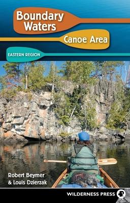
Find your way into the eastern BWCAW via 28 entry points, accessible near Grand Marais, Minnesota, from the Sawbill and Gunflint trails.
The Boundary Waters Canoe Area Wilderness (BWCAW) in northeastern Minnesota--over a million acres of wilderness on the US-Canada border--is a magnet for visitors seeking to explore some of the most beautiful waterways in the world. With a canoe or kayak, you can paddle its remote lakes, rivers, waterfalls, forests, and trails. Boundary Waters Canoe Area: Eastern Region by Robert Beymer and Louis Dzierzak helps you select the perfect trip for your schedule, ability, and interests.
This classic guide--along with its companion volume, Boundary Waters Canoe Area: Western Region--has been the trusted source for more than 40 years on where to go in the BWCAW and its 1,000+ lakes. Now fully updated, it's the bible to the 1,200 miles of canoe routes and 154 miles of portage trails in the wilderness.
The guide describes 28 entry points in the eastern part of the BWCAW--those accessible near Grand Marais, Minnesota, from the Sawbill Trail and the Gunflint Trail. For each entry point, both a short and a long route are described, along with all the information you'll need to plan a successful trip.
Inside you'll find:
- Complete trip data, including total distance, time, difficulty, required Fisher maps, and permit and quota requirements
- Day-by-day details, such as number and difficulty of portages and recommended campsites
- Fishing recommendations for surrounding lakes and rivers
- Wise advice on navigation and points of interest
- Added bonus: "Lake Index for Fishing," covering the 242 lakes that lie on this book's described routes
