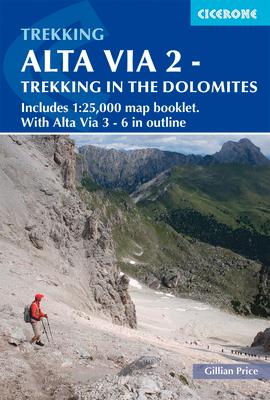
Guidebook with separate 1:25,000 map booklet to Alta Via 2, a long-distance trail through the western Dolomites in Italy. This challenging hut-to-hut trek involves steep, technical terrain and aided and exposed sections, and is suitable for walkers with good fitness and experience of high-altitude routes.
- Includes separate map booklet featuring 1:25,000 Kompass mapping for the entire AV2 route
- Totalling 108 miles (174km) in length, AV2 is usually walked in 13 daily stages of 5-14 miles (8-22km)
- Clear route descriptions with 1:75,000 maps and elevation profiles, and side-routes to explore nearby summits and points of interest
- Advice on walking three- to six-day sections of the route for walkers who prefer not to tackle AV2 in its entirety
- Starting from Bressanone, the north-south AV2 route crosses Passo Gardena, Passo Pordoi, Malga Ciapela and Passo San Pellegrino, nearing San Martino di Castrozza and Fiera di Primiero before finishing at Feltre
- Also contains overview maps and route descriptions for Alta Via 3, 4, 5 and 6, four harder and more remote north-south routes in the central and eastern Dolomites
- Short rope and karabiners helpful for some sections, although not compulsory
- GPX files available for download
